Landscape Design and Management
Overview
Job Growth
N/A
Duration
N/A
Avg. Salary
N/A
Career Paths
N/A
Program Description
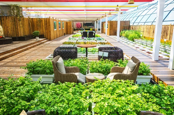
Landscape Design and Management teaches how to plan, create and care for productive, attractive and sustainable outdoor spaces. You will study soil science, plant selection, crop and garden management, ecology, water conservation and basic design principles. Practical lessons include soil testing, planting, pest and weed management, and using simple mapping tools. The program leads to careers such as agronomist, farm manager, soil scientist, conservation officer and environmental scientist, or to further studies at university. If you enjoy the outdoors, science and solving real-world environmental problems, this program gives you hands-on skills and a clear path to jobs that help Ghana’s land, food systems and communities thrive.
Aims & Objectives
Develop practical skills in soil testing, plant selection and crop management through hands-on fieldwork
Master basic landscape planning and sustainable design techniques for farms, gardens and public spaces
Understand environmental conservation principles and perform simple environmental impact assessments
Create and implement maintenance plans that conserve water, improve soil health and support biodiversity
Use GIS, basic drone data and spreadsheet analysis to collect, interpret and present landscape data
Why Choose This Program?
Strong job prospects
Demand for trained land managers and conservation workers is growing in Ghana’s agriculture and development sectors.
Practical, hands-on learning
Fieldwork, soil testing and design projects give you real skills you can use immediately.
Positive environmental impact
You learn to create landscapes that save water, protect soil and support local ecosystems.
Technology and innovation
Training includes GIS, drones and digital farm systems—skills sought by employers and NGOs.
Pathways to further study and internships
Strong linkages to agricultural colleges, farms and conservation groups provide internship and higher-education options.
Skills & Tools
Skills You'll Develop
Use soil testing kits to measure pH, nutrients and texture to make fertilizer and planting recommendations.
Apply crop rotation, mulching, agroforestry and water-saving methods to increase yields and conserve resources.
Use QGIS or Google Earth tools to map land use, plan layouts and monitor changes over time.
Operate or interpret drone images to assess plant health, erosion and landscape features.
Record field measurements and use spreadsheets to analyse trends, costs and productivity.
Tools & Resources
QGIS (open-source GIS)
Microsoft Office (Excel for data analysis)
Farm management systems (e.g., FarmERP or similar)
Google Earth / Google Earth Engine
Challenges & Tips
Challenges
Heavy practical workload and field schedules
Understanding technical science terms
Balancing theory and hands-on skills
Tips & Advice
Plan weekly timetables, share tasks with classmates and speak to teachers early if you fall behind.
Use clear glossary notes, visual aids and online videos to reinforce classroom lessons.
Relate classroom theory to field experiments to deepen understanding and retention.
Video Guide
Frequently Asked Questions
Ready to Apply?
Find programs that match your grades and interests - even if you haven't written WASSCE yet
Loading.. Please wait.

Talk to a Professional
Join a mentorship session with real professionals working in your field of interest.
Advertisement