Human Settlement Planning
Overview
Job Growth
N/A
Duration
N/A
Avg. Salary
N/A
Career Paths
N/A
Program Description
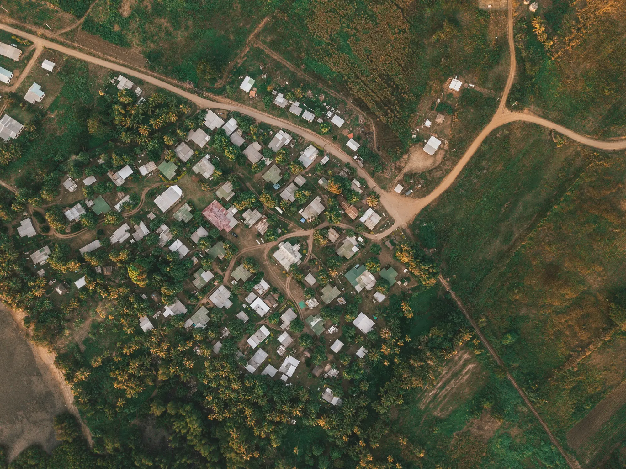
Human Settlement Planning studies how towns, neighbourhoods and public spaces are designed and organised to meet people’s needs. You will learn about land use, housing, community design, cultural heritage, environmental management, basic mapping (GIS) and how to involve communities in planning. Main subjects include urban design, community development, environmental planning, cultural studies and mapping skills. Graduates can work as urban/community planners, housing or policy officers, GIS technicians, heritage planners or in roles that link culture and development such as museum or community arts coordination. This programme blends creativity, social insight and practical design skills to prepare you for real-world projects that improve living conditions and preserve Ghana’s cultural identity. Start here to shape better, safer and more beautiful places for people.
Aims & Objectives
Develop practical skills to design and present basic settlement plans and layouts using maps and sketches.
Master introductory GIS and mapping tools to analyse land use and infrastructure needs.
Understand cultural, historical and environmental factors that shape community planning decisions.
Create clear community engagement strategies to collect local input and promote inclusive projects.
Analyse housing and land-use data to recommend realistic, sustainable planning solutions.
Why Choose This Program?
Real impact on communities
Work on projects that improve daily life—housing, transport, markets and public spaces—making your work visible and meaningful in Ghanaian towns.
Strong job demand
Public agencies, NGOs, local governments and private developers need planners, GIS assistants and community officers across Ghana.
Blend of creativity and technical skill
Combine design, cultural studies and mapping—ideal for students who like art, history and practical problem-solving.
Practical learning and internships
Fieldwork, studio projects and internships with municipal planning departments, NGOs and heritage sites strengthen your CV.
Opportunities in heritage and culture
Training links planning with cultural preservation, opening roles in museums, tourism and community arts initiatives.
Skills & Tools
Skills You'll Develop
Use GIS to create maps, measure land use, analyse spatial data and support planning decisions.
Produce clear posters, plans and presentations using Photoshop, Illustrator and InDesign to explain proposals.
Create accurate site sketches and simple 3D models to visualise layouts and building relationships.
Collect and interpret social, demographic and environmental data to form evidence-based plans.
Design surveys, focus groups and participatory workshops to include local voices in planning projects.
Tools & Resources
QGIS (open-source GIS)
Adobe Creative Suite (Photoshop, Illustrator, InDesign)
SketchUp / AutoCAD (basic CAD and 3D modelling)
Canva or WordPress (presentations and community communication)
Challenges & Tips
Challenges
Complex technical concepts (GIS, CAD)
Balancing creative and analytical tasks
Limited access to advanced software at school
Tips & Advice
Start with beginner tutorials, practice small mapping exercises and ask teachers for hands-on demonstrations.
Create a study schedule that divides time between design practice and data analysis to build both strengths.
Use free/open-source alternatives like QGIS and SketchUp Free, and learn via online courses.
Video Guide
Frequently Asked Questions
Ready to Apply?
Find programs that match your grades and interests - even if you haven't written WASSCE yet
Loading.. Please wait.

Talk to a Professional
Join a mentorship session with real professionals working in your field of interest.
Advertisement