Geography and Rural Development
Overview
Job Growth
N/A
Duration
N/A
Avg. Salary
N/A
Career Paths
N/A
Program Description
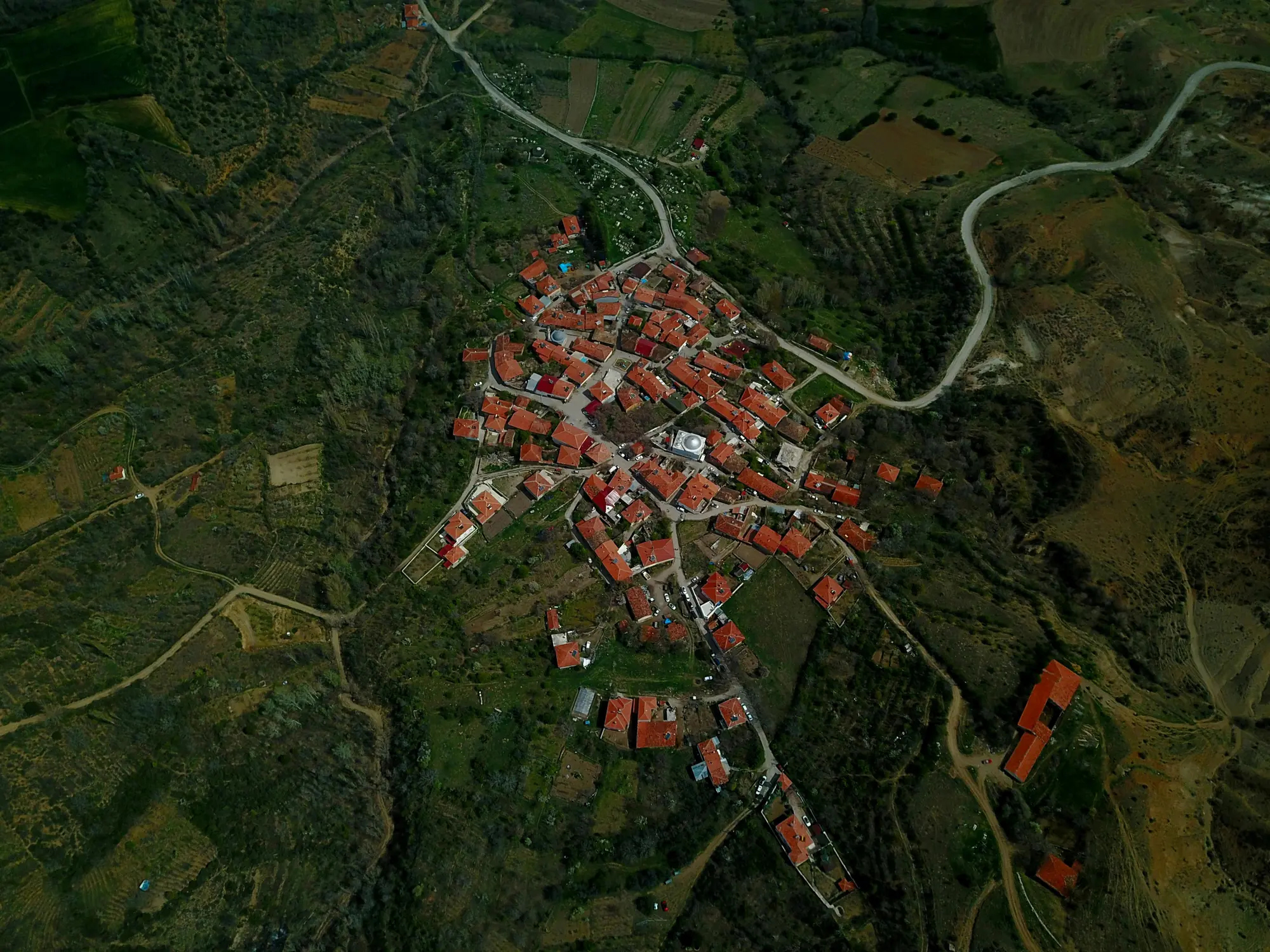
Geography and Rural Development program focuses on the study of the earth’s surface, natural resources, human settlements, and how people interact with their environment. Students learn about physical geography (landforms, climate, soils, vegetation, water resources), human geography (population, urbanization, transportation, and economic activities), and development planning with emphasis on rural areas. The program also trains students in Geographic Information Systems (GIS), remote sensing, and research methods for analyzing spatial and development issues.
Graduates from this program can pursue careers in urban and regional planning, environmental management, disaster management, teaching, research, development consulting, and public administration. Others work with NGOs, international organizations, or government agencies in areas of community development, land management, and policy-making. For students who are passionate about solving environmental and developmental challenges in Ghana and beyond, this program offers both academic and professional opportunities.
Aims & Objectives
Prepare graduates for careers in planning, development, and environmental management.
Develop critical thinking and research skills.
Train students to use GIS and remote sensing for problem-solving.
Equip students with knowledge in geography and rural development planning.
Understand the relationship between people and their environment.
Why Choose This Program?
Address Real Issues
Focus on solving rural and urban development problems in Ghana.
Practical Training
Hands-on skills in GIS, mapping, and development planning.
Broad Career Options
Opportunities in teaching, planning, NGOs, and government agencies.
Further Studies
Easy progression to master’s and PhD in geography, planning, or development studies.
High Demand Skills
GIS and environmental planning skills are in demand globally.
Skills & Tools
Skills You'll Develop
Collecting and analyzing land and population data.
Using satellite data for environmental studies.
Ability to analyze and create digital maps.
Designing strategies for rural and urban development.
Using statistical and spatial tools for research.
Tools & Resources
Google Earth – For viewing global geographic data.
SPSS / Stata – For statistical analysis.
QGIS – Free GIS software for map creation.
ArcGIS – For mapping and spatial analysis.
Challenges & Tips
Challenges
Fieldwork Demands
Complex Courses
Tips & Advice
Requires time and energy.
GIS and statistics can be challenging.
Video Guide
Frequently Asked Questions
Ready to Apply?
Find programs that match your grades and interests - even if you haven't written WASSCE yet
Loading.. Please wait.

Talk to a Professional
Join a mentorship session with real professionals working in your field of interest.
Advertisement