Geo-Environmental Science
Overview
Job Growth
N/A
Duration
N/A
Avg. Salary
N/A
Career Paths
N/A
Program Description
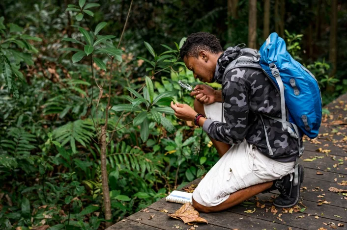
Geo-Environmental Science studies how land, soils, water, and climate affect agriculture and how people can manage natural resources sustainably. Students learn soil science, crop management, basic ecology, environmental conservation, GIS mapping, and field survey methods. The program combines classroom theory with hands-on fieldwork so you can test soils, plan sustainable farms, and assess environmental impacts. Graduates can work as agronomists, soil scientists, farm managers, environmental scientists, or conservation officers, and can continue to university studies in agriculture, environmental science, or natural resource management. This course is ideal for students who like science, the outdoors, and solving real problems to support food security and a healthy environment.
Aims & Objectives
Develop practical skills in soil sampling and basic soil tests, such as pH and texture, with measurable competence in laboratory record keeping.
Master techniques for crop management and sustainable farming, including fertilizer use and crop rotation, and design a simple resource-conserving farm plan.
Understand and conduct basic environmental impact assessments, documenting potential effects and mitigation measures for small projects.
Use GIS mapping and data analysis tools to collect, visualise, and interpret land use and environmental data for local decision making.
Why Choose This Program?
High demand for practical skills
Employers in agriculture and conservation need people who can test soils, advise farmers, and carry out environmental assessments, giving graduates strong job prospects.
Hands-on outdoor learning
Regular fieldwork and laboratory practice build real-world experience that employers and universities value.
Pathway to further study and varied careers
The program prepares you for university degrees in agriculture and environment, and for careers as agronomists, soil scientists, farm managers, or conservation officers.
Skills for sustainable development
You will learn methods that support food security and natural resource protection, aligning with national development and climate resilience needs.
Skills & Tools
Skills You'll Develop
Sampling, basic laboratory tests for pH and texture, nutrient recommendations, and practices like crop rotation and agroforestry to improve yields sustainably.
Methods for identifying environmental risks of projects, recording observations, and proposing simple mitigation and conservation measures.
Using GPS for field mapping and QGIS or Google Earth to map land use, analyze spatial data, and support planning decisions.
Field data recording, basic statistics, and use of spreadsheets to interpret results and prepare clear reports.
Tools & Resources
QGIS (open source GIS)
Microsoft Excel or LibreOffice Calc
Google Earth / Google Earth Engine for satellite imagery
Challenges & Tips
Challenges
Strong science and maths content
Balancing fieldwork and classroom study
Tips & Advice
Attend extra tutorials, form study groups, and practise calculations and lab techniques regularly.
Use a weekly schedule, prepare for field days in advance, and review notes soon after practical sessions.
Video Guide
Frequently Asked Questions
Ready to Apply?
Find programs that match your grades and interests - even if you haven't written WASSCE yet
Loading.. Please wait.

Talk to a Professional
Join a mentorship session with real professionals working in your field of interest.
Advertisement